


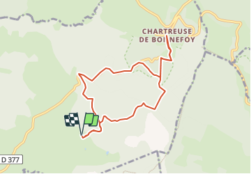
tour du suc taupernas

raab
User

Length
8.7 km

Max alt
1552 m

Uphill gradient
381 m
Km-Effort
13.8 km

Min alt
1306 m

Downhill gradient
379 m
Boucle
Yes
Creation date :
2023-08-14 07:03:04.674
Updated on :
2023-08-14 07:09:46.114
3h07
Difficulty : Difficult

FREE GPS app for hiking
 SityTrail
IGN / Geographical institutes
SityTrail Plus
The world is yours!
About
Trail Walking of 8.7 km to be discovered at Auvergne-Rhône-Alpes, Ardèche, Le Béage. This trail is proposed by raab.
Positioning
Country:
France
Region :
Auvergne-Rhône-Alpes
Department/Province :
Ardèche
Municipality :
Le Béage
Location:
Unknown
Start:(Dec)
Start:(UTM)
591400 ; 4967357 (31T) N.
Comments